
Anúncios
GPS Applications
Anúncios
GPS applications have revolutionized how we navigate, transforming smartphones into powerful navigation tools that guide millions of people daily through unfamiliar streets and complex routes.
Whether you’re commuting to work, embarking on a road trip, or exploring a new city, GPS applications have become indispensable companions. These innovative tools do far more than simply point you in the right direction—they offer real-time traffic updates, alternative routes, voice-guided navigation, and even help you discover nearby restaurants, gas stations, and points of interest.
Anúncios
The evolution of GPS technology from bulky standalone devices to sleek smartphone applications represents one of the most significant technological advances in recent decades. Today’s GPS apps leverage satellite signals, cellular data, and crowdsourced information to provide incredibly accurate and helpful navigation experiences. Let’s explore everything you need to know about GPS applications and how they can enhance your daily travels. 🗺️
Understanding How GPS Applications Actually Work
GPS applications operate through a sophisticated network of satellites orbiting Earth. The Global Positioning System consists of at least 24 satellites that continuously transmit signals containing their location and the precise time the signal was sent. Your smartphone’s GPS receiver picks up signals from multiple satellites simultaneously, typically four or more.


By calculating the time it takes for each signal to reach your device, the GPS application can determine your exact position through a process called trilateration. This mathematical technique measures distances from known points to establish your coordinates with remarkable precision, often within a few meters.
Modern GPS apps enhance this satellite data with additional information sources. They incorporate cellular tower triangulation, Wi-Fi positioning, and accelerometer data from your phone to improve accuracy, especially in urban areas where tall buildings can interfere with satellite signals. This multi-source approach ensures you receive reliable navigation guidance even in challenging environments.
Popular GPS Navigation Apps Transforming Daily Travel 📱
The marketplace offers numerous GPS applications, each with unique features and strengths. Waze stands out as a community-driven navigation app that relies on millions of users sharing real-time road information. Drivers report accidents, police presence, road hazards, and traffic conditions, creating a constantly updated navigation experience that helps everyone avoid delays.
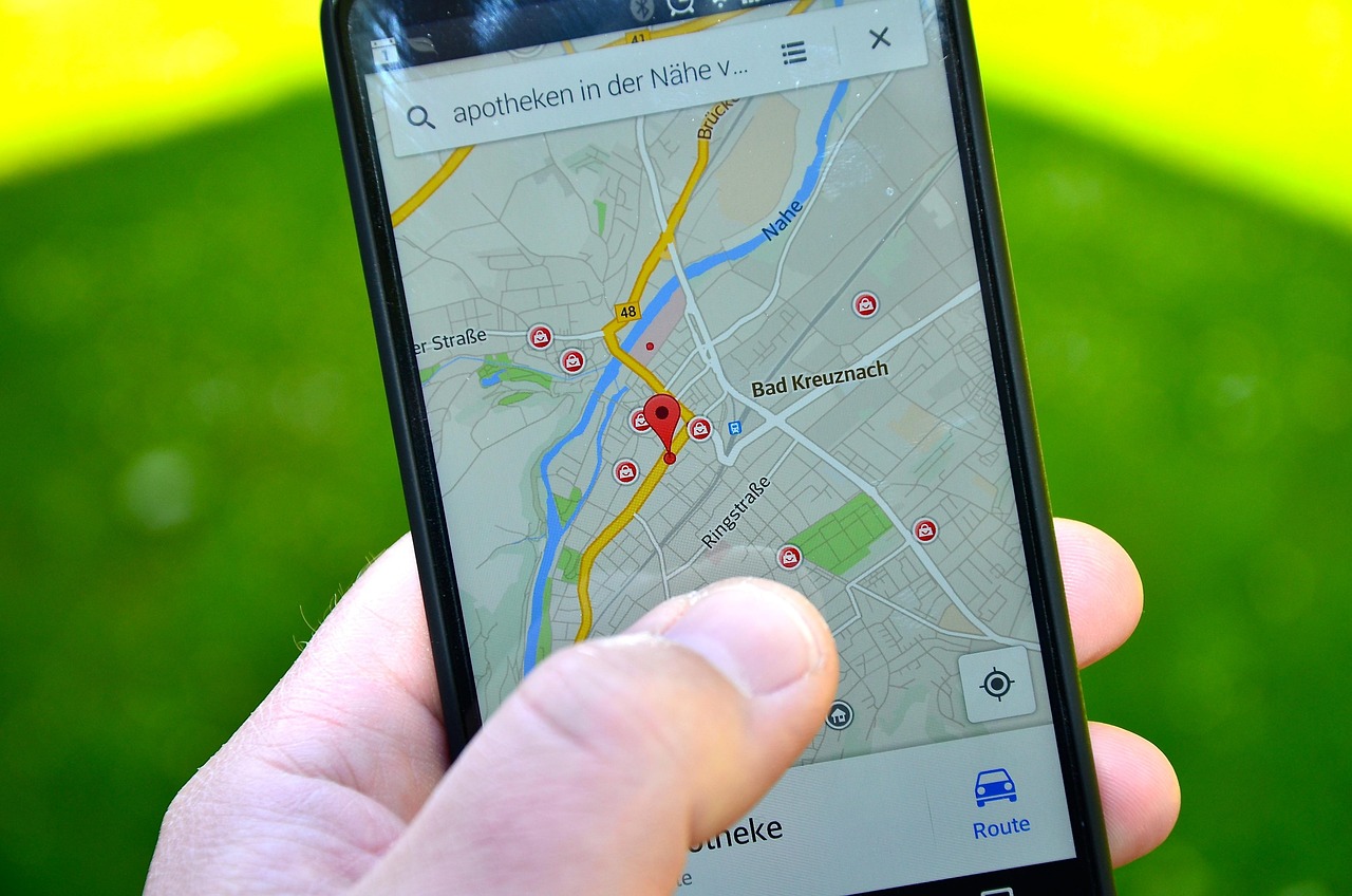
Google Maps dominates the GPS application landscape with its comprehensive mapping data covering virtually every corner of the globe. Beyond navigation, it provides detailed information about businesses, public transportation schedules, walking and cycling routes, and Street View imagery that lets you preview your destination before arriving.
Apple Maps has evolved significantly since its troubled launch, now offering smooth integration with iOS devices, beautiful design, and privacy-focused features. It provides excellent turn-by-turn directions, lane guidance, and speed limit information while keeping your location data more private than some competitors.
For outdoor enthusiasts, applications like AllTrails and Gaia GPS specialize in hiking, biking, and off-road navigation. These apps feature topographic maps, trail information, elevation profiles, and offline functionality crucial for adventures beyond cellular coverage areas.

Key Features That Make GPS Apps Indispensable
Real-time traffic information represents one of the most valuable features in modern GPS applications. These apps analyze data from multiple sources—including other users, traffic sensors, and historical patterns—to identify congestion and automatically suggest faster alternative routes. This capability can save significant time during rush hour or when unexpected incidents occur.
Voice-guided navigation allows you to keep your eyes on the road while receiving turn-by-turn directions. Advanced GPS apps use natural language instructions like “turn right at the next traffic light” rather than abstract distance measurements, making navigation more intuitive and safer.
Offline maps functionality proves essential when traveling to areas with poor cellular coverage or when visiting foreign countries where data roaming becomes expensive. Many GPS applications allow you to download map regions in advance, ensuring navigation continues working even without an internet connection.
Multi-stop route planning helps when you need to visit several locations efficiently. Professional drivers, delivery personnel, and anyone running multiple errands appreciate GPS apps that optimize the sequence of stops to minimize driving time and fuel consumption.
Maximizing Battery Life While Using GPS Navigation 🔋
GPS applications are notorious for draining smartphone batteries quickly because they constantly use location services, the screen remains active, and data connections stay open. However, several strategies can extend your device’s battery life during navigation sessions.
Reducing screen brightness to the minimum readable level significantly decreases power consumption. Many GPS apps offer night mode or dark themes that further reduce battery drain, especially on phones with OLED screens where darker pixels consume less energy.
Using a car charger or portable power bank ensures your phone stays charged during long trips. Even a basic car charger can maintain battery levels while navigating, eliminating anxiety about running out of power mid-journey.
Downloading offline maps before your trip reduces the need for constant data connectivity, which consumes considerable battery power. With maps stored locally, your GPS app only needs to access satellite signals for positioning, dramatically improving battery efficiency.
Closing unnecessary background applications frees up processing power and memory, allowing your GPS app to run more efficiently. Background processes compete for resources and can cause your navigation app to drain the battery faster than necessary.
Privacy Considerations When Using Location Services
GPS applications collect significant amounts of location data to provide their services, raising important privacy questions. Understanding how different apps handle your information helps you make informed choices about which navigation tools to trust with your movement patterns.
Some GPS applications store detailed location histories, creating comprehensive records of everywhere you’ve traveled. While this data enables useful features like timeline reviews and personalized recommendations, it also represents sensitive information that could be misused if compromised or shared inappropriately.
Privacy-focused GPS apps minimize data collection and retention. They process navigation requests without storing long-term location histories or associating your searches with personal identities. Reading privacy policies and adjusting app permissions helps you control how much information you share.
Many navigation apps offer settings to delete location history, pause tracking, or operate in incognito modes that don’t save your searches and destinations. Taking advantage of these privacy features balances the convenience of GPS navigation with reasonable data protection.
Business Applications Leveraging GPS Technology 🚚
Commercial enterprises increasingly rely on GPS applications to optimize operations and improve customer service. Delivery companies use fleet management systems that track vehicle locations in real-time, optimize routes, and provide customers with accurate arrival estimates.
Ride-sharing services like Uber and Lyft depend entirely on GPS technology to connect passengers with nearby drivers, navigate to pickup locations, and follow efficient routes to destinations. The GPS application ecosystem has enabled entirely new business models that weren’t feasible before smartphones became ubiquitous.
Field service businesses use GPS apps to dispatch technicians efficiently, ensuring the closest available worker responds to each service call. This optimization reduces travel time, increases the number of jobs completed daily, and improves customer satisfaction through faster response times.
Real estate professionals leverage GPS applications to create property tours, navigate between showings, and provide clients with location-based information about neighborhoods, schools, and amenities. The ability to quickly access and share geographic information has transformed how properties are marketed and sold.
Enhancing GPS Accuracy for Precise Navigation
Several factors influence GPS accuracy, and understanding them helps you get the most reliable navigation experience. Clear views of the sky allow your device to receive signals from more satellites, improving position calculations. Urban canyons with tall buildings, dense forests, and indoor locations can interfere with satellite reception.
Keeping your GPS app updated ensures you benefit from the latest accuracy improvements and map corrections. Developers continuously refine algorithms, fix bugs, and update map data to reflect road changes, new construction, and corrected business information.
Calibrating your phone’s compass improves directional accuracy, especially when starting navigation. Most GPS apps prompt you to move your phone in a figure-eight pattern, which helps the magnetometer establish accurate orientation relative to magnetic north.
Assisted GPS (A-GPS) technology uses cellular network data to accelerate satellite signal acquisition. This hybrid approach provides faster initial positioning, particularly useful when you need directions immediately rather than waiting for your device to lock onto satellite signals from a cold start.
Future Innovations in GPS Navigation Technology 🚀
Augmented reality navigation represents an exciting frontier for GPS applications. These systems overlay directional arrows and information directly onto live camera views of your surroundings, making navigation even more intuitive by showing exactly where to turn in the context of what you’re actually seeing.
Artificial intelligence is making GPS apps smarter by learning your routines, predicting destinations before you specify them, and proactively suggesting optimal departure times based on traffic patterns. Machine learning algorithms analyze vast amounts of data to provide increasingly personalized navigation experiences.
Integration with autonomous vehicle systems will transform GPS applications from driver assistance tools to essential components of self-driving car navigation. These advanced systems will combine GPS data with detailed 3D maps, computer vision, and sensor information to navigate safely without human intervention.
Indoor positioning systems are extending GPS-like navigation into buildings where satellite signals can’t penetrate. Using Wi-Fi, Bluetooth beacons, and other technologies, these systems guide people through shopping malls, airports, and large office complexes with the same precision we expect outdoors.
Choosing the Right GPS Application for Your Needs
Selecting the best GPS app depends on your specific requirements and preferences. Frequent commuters prioritize real-time traffic updates and alternative route suggestions, making community-driven apps with crowdsourced data particularly valuable for avoiding delays during rush hour.
International travelers benefit from GPS applications with extensive global coverage, offline map capabilities, and multi-language support. The ability to navigate confidently in foreign countries without expensive data roaming charges provides both convenience and cost savings.
Outdoor adventurers require specialized navigation apps with topographic maps, trail information, and reliable offline functionality. Standard road navigation apps lack the detailed terrain information and waypoint management features essential for hiking, camping, and backcountry exploration.
Privacy-conscious users should evaluate how each GPS application collects, stores, and shares location data. Some apps offer superior privacy protections through minimal data retention, anonymous usage, and transparent policies that respect user preferences.
Common GPS Navigation Challenges and Solutions 🔧
Signal loss in tunnels, parking garages, and urban corridors represents a common frustration with GPS applications. While satellite signals can’t penetrate these obstacles, modern apps use accelerometer data and last-known positions to estimate your location and continue providing guidance until signal reception resumes.
Outdated map data occasionally leads GPS applications to suggest routes that no longer exist or miss recently constructed roads. Regularly updating your navigation app ensures you benefit from the latest map corrections, and reporting map errors helps improve data quality for everyone.
Address ambiguity sometimes causes GPS apps to navigate to incorrect locations, especially in rural areas or developments with similar street names. Verifying destinations using landmarks, coordinates, or satellite imagery before departing prevents frustrating detours to wrong addresses.
Excessive data consumption can be problematic for users with limited mobile plans. Downloading offline maps, reducing map detail settings, and connecting to Wi-Fi before trips helps manage data usage while still enjoying full navigation functionality.
Environmental and Social Benefits of GPS Technology 🌍
GPS applications contribute to environmental sustainability by optimizing routes and reducing unnecessary driving. When millions of users follow more efficient paths suggested by navigation apps, the cumulative reduction in fuel consumption and emissions becomes significant.
Reduced traffic congestion results from GPS apps distributing vehicles more evenly across road networks. By identifying congested routes and suggesting alternatives, these applications help prevent bottlenecks and improve overall traffic flow in urban areas.
Emergency services leverage GPS technology to respond faster to incidents, potentially saving lives through reduced response times. Accurate location sharing enables dispatchers to send help precisely where needed, eliminating delays caused by unclear directions or incorrect addresses.
Economic productivity increases when people spend less time lost or stuck in traffic. GPS applications enable more efficient transportation of goods, faster service delivery, and better utilization of working hours previously wasted navigating inefficiently.
Making the Most of Your GPS Navigation Experience
GPS applications have fundamentally changed how we interact with our physical environment, transforming navigation from a skill requiring maps and local knowledge into an accessible service available to anyone with a smartphone. These powerful tools continue evolving, incorporating new technologies and features that make getting from point A to point B easier, faster, and more efficient than ever before.
Whether you’re a daily commuter seeking the fastest route to work, a delivery driver optimizing multiple stops, an adventurer exploring wilderness trails, or a traveler discovering new cities, the right GPS application enhances your journey. By understanding how these apps work, choosing features that match your needs, and following best practices for accuracy and privacy, you can navigate confidently wherever your travels take you. 🗺️✨